Transportation & Maritime
From reducing port congestion and forecasting ETAs to detecting suspicious vessel activity and marine pollution—our integrated maritime solutions support decision-making across commercial, regulatory, and environmental domains.
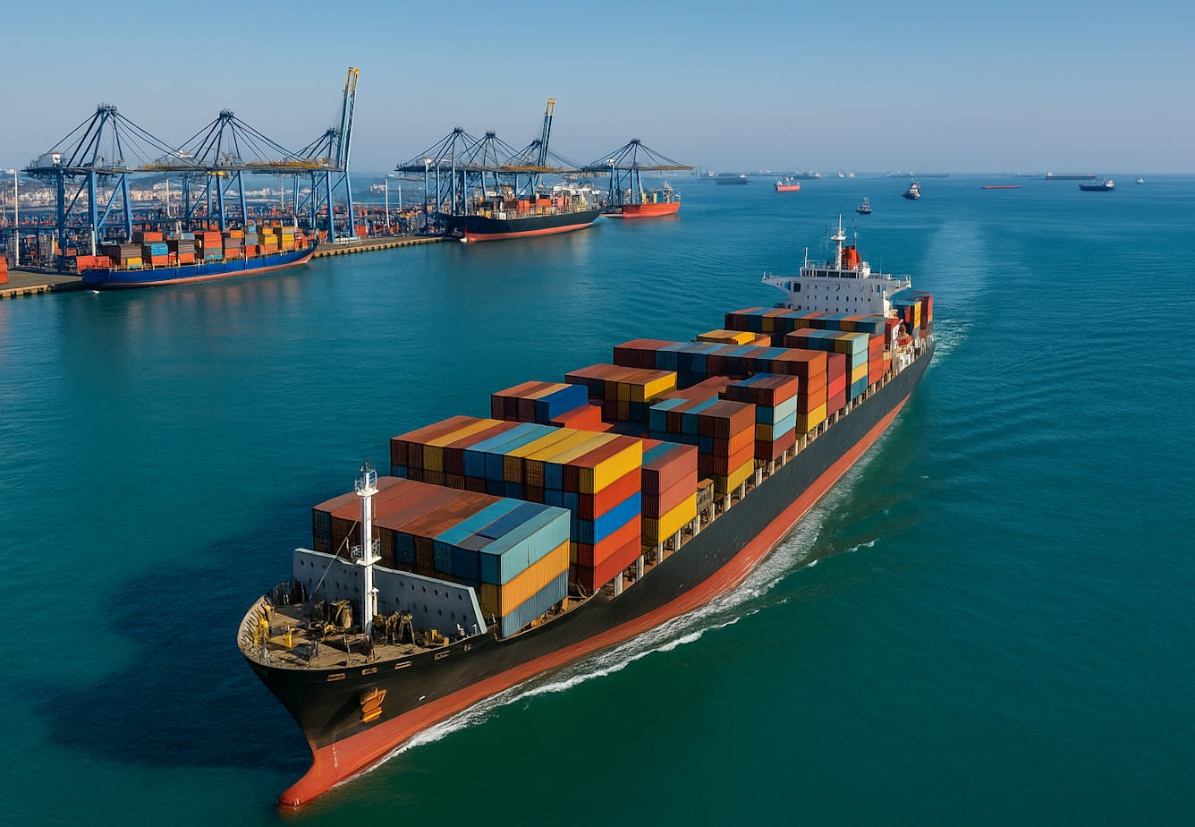
Global maritime traffic is growing in complexity—ports face rising throughput, tighter environmental regulations, and an urgent need for real-time visibility. At the same time, oceans are under threat from illegal fishing, untracked vessels, and pollution events that are difficult to monitor at scale. At SPACE-SHIP, we support port operators, maritime authorities, coast guards, and fisheries agencies with powerful tools that combine Earth Observation, AIS tracking, and AI analytics—designed to improve operational performance, protect resources, and enhance maritime domain awareness.
$220B
10.9%
15%
Our team brings over 15 years of combined experience at the intersection of maritime operations, Earth Observation, and data science. We've supported ports, maritime stakeholders and environmental agencies with tools that turn raw data into real-time maritime intelligence. From predictive ETA models and emission analytics to IUU detection workflows, we design and deliver custom solutions that reflect deep domain knowledge and technological skill. Whether it's integrating with PMS systems, developing fleet-level KPIs, or enabling situational awareness across EEZs, we know how to build what maritime stakeholders actually need.
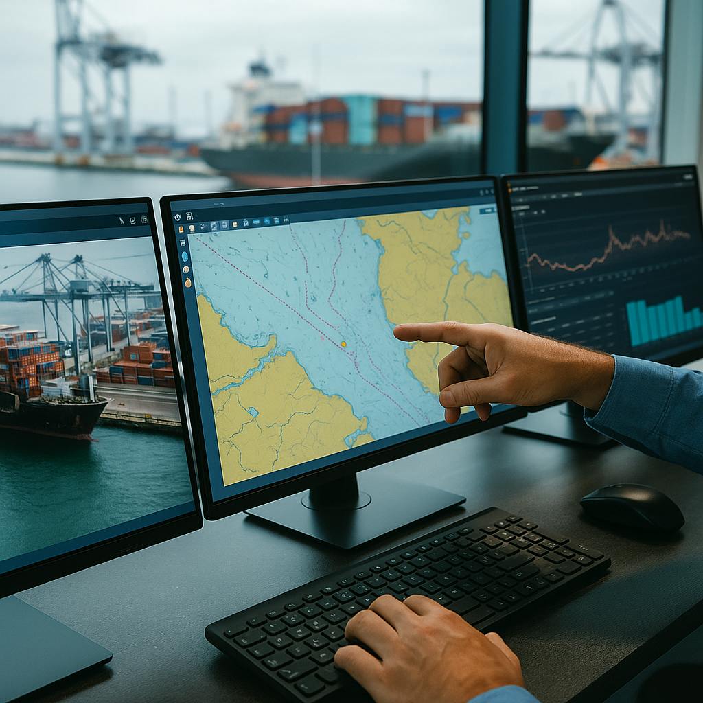
We don’t sell ready dashboards; we build full-stack maritime systems tailored to your operational goals. From ETA prediction to pollution alerts, our platforms fuse live data feeds, machine learning, and satellite imagery to surface insights that matter—on time and in context.
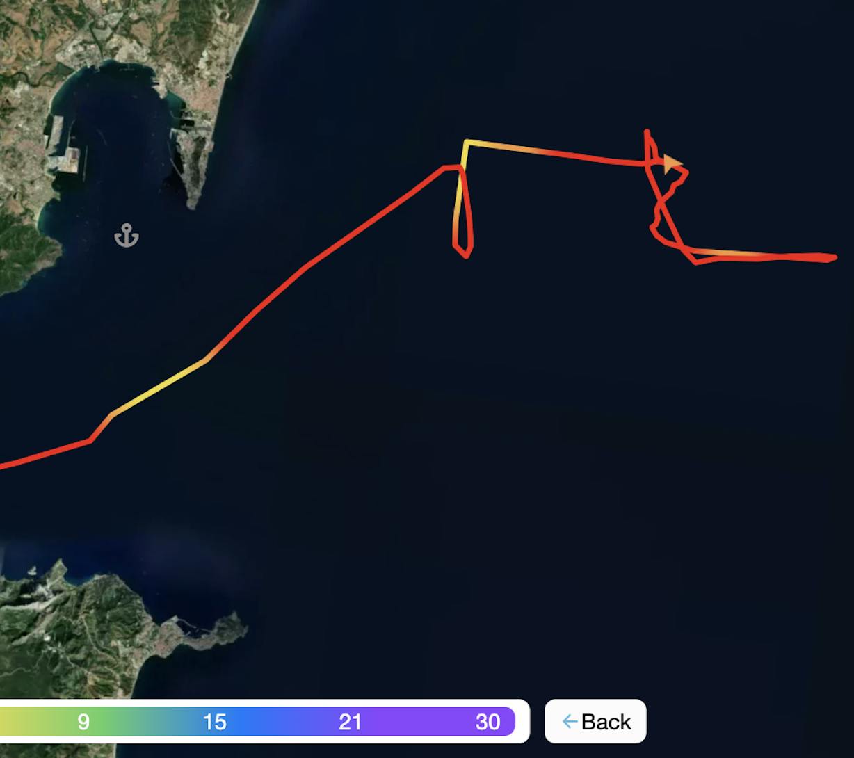
ARRIVAL-X ETA Prediction
Our state-of-the-art, automated ETA prediction tool uses fused AIS, EO, and weather data to deliver precise arrival times with over 90% accuracy, supporting Just-in-Time port calls.
Port Congestion Mapping
Heatmaps and clustering analytics reveal real-time vessel density and berth utilization to reduce idle time and improve throughput.
Emission Tracking & Bunker Demand Forecasting
Monitor ship emissions, evaluate GHG performance, competitor analysis and forecast bunker fuel demand using integrated vessel data and EO-based environmental indicators.
Vessel Behaviour & IUU Detection
Spot loitering, transhipment, or untracked fishing via AIS anomaly detection and satellite image analysis, enhancing EEZ protection and coastal surveillance.
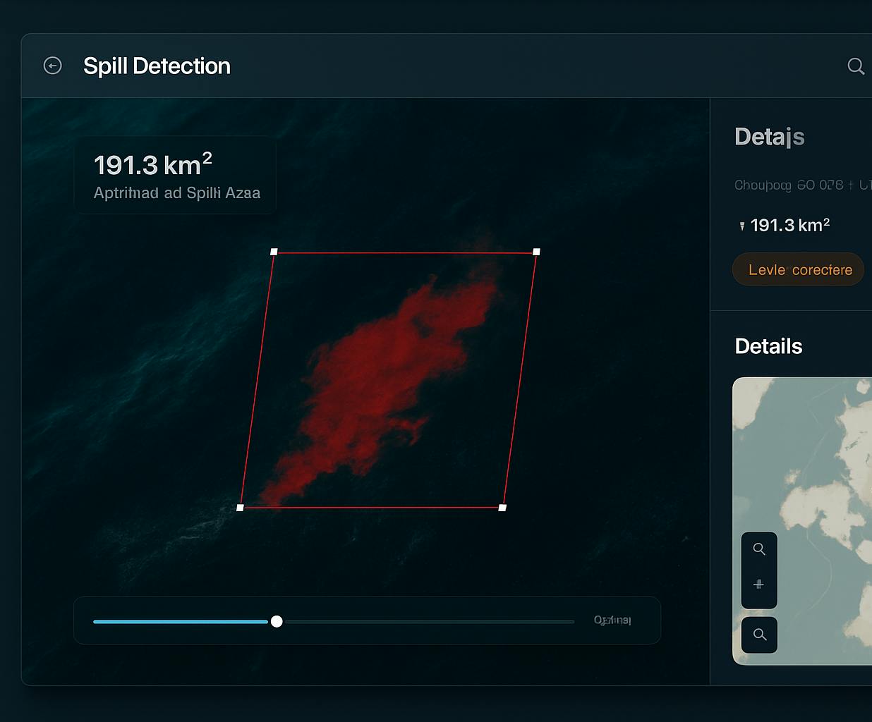
Marine Pollution & Debris Monitoring
Detect oil slicks, plastic drift, or algal blooms using SAR/optical imagery and ocean current modelling, paired with flow prediction tools and source tracking for real-time response.
AIS (terrestrial & satellite), Sentinel-1/-2, VIIRS, CMEMS, SAR/optical imagery, ERA5, VESSELTRACK, OpenRouteService, Python, Scikit-learn, PostGIS, Docker, FastAPI, cloud-native ML pipelines.