Forestry & Forest Conservation
Actionable forest intelligence for ministries, carbon projects, and conservation programs. Track forest loss, estimate carbon stocks, and enable accountable climate action—powered by satellite data, machine learning, and open workflows.
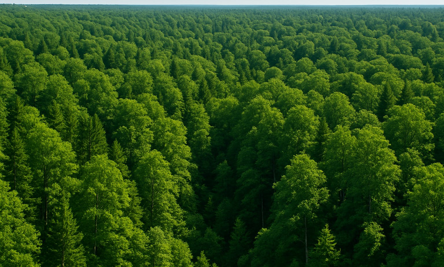
Forests play a critical role in climate regulation, biodiversity, and local livelihoods-but they’re disappearing fast. Effective forest management today requires more than annual reports or outdated inventories. Decision-makers need dynamic, spatially accurate tools to track forest condition, detect illegal activity, and verify climate-related commitments like REDD+. We help clients develop tailored EO- and AI-powered systems to monitor deforestation, estimate carbon stocks, and implement credible MRV (Monitoring, Reporting, Verification) workflows. Our solutions support sustainable forest management, climate finance access, and real-time forest protection.
$317.2B
8%
25%
We work with local governments, urban planners, and infrastructure teams to turn satellite imagery, sensor data, and AI models into clear guidance for land use planning. Whether it's detecting informal settlements, monitoring land cover change, evaluating urban heat islands, or planning new mobility routes — we build tools that support real decisions on the ground. Our solutions combine EO data pipelines, machine learning models, and intuitive mapping interfaces to bring transparency and agility into every stage of the planning cycle.
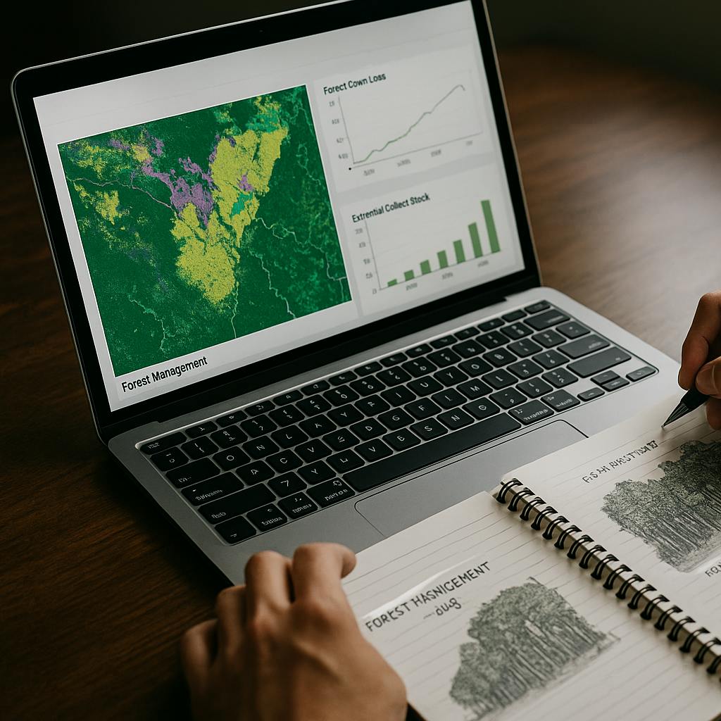
We build custom monitoring frameworks that fuse satellite imagery, biomass datasets, and machine learning to deliver high-confidence forest intelligence at scale. Whether you're designing a REDD+ MRV protocol, tracking encroachment, or validating carbon offsets, we work with you to deliver systems that are science-backed, locally relevant, and operational.
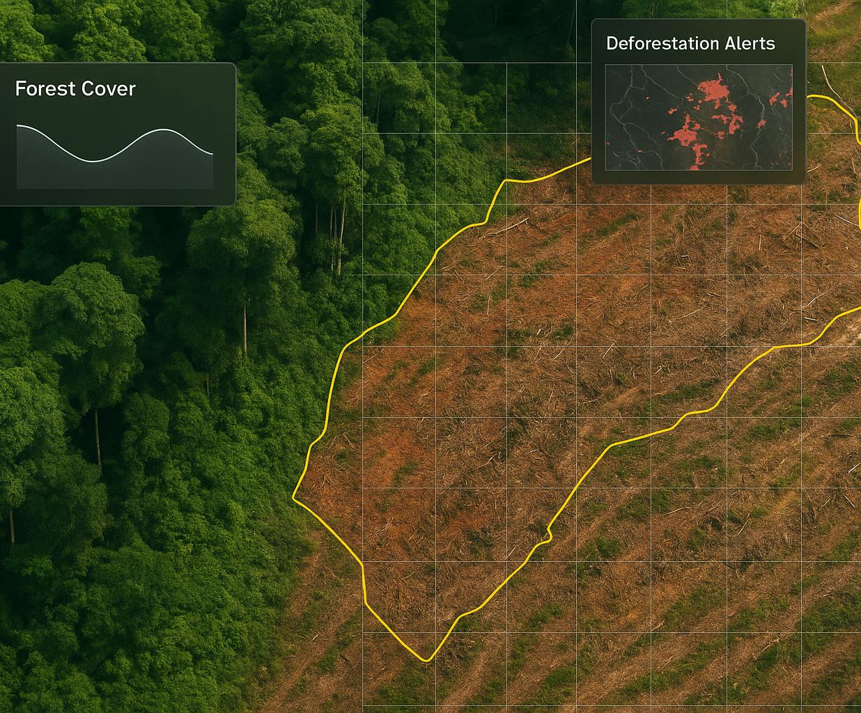
Forest Loss Detection
Real-time alerts for deforestation, degradation, or illegal clearing, using optical and radar imagery fused with AI-based change detection models.
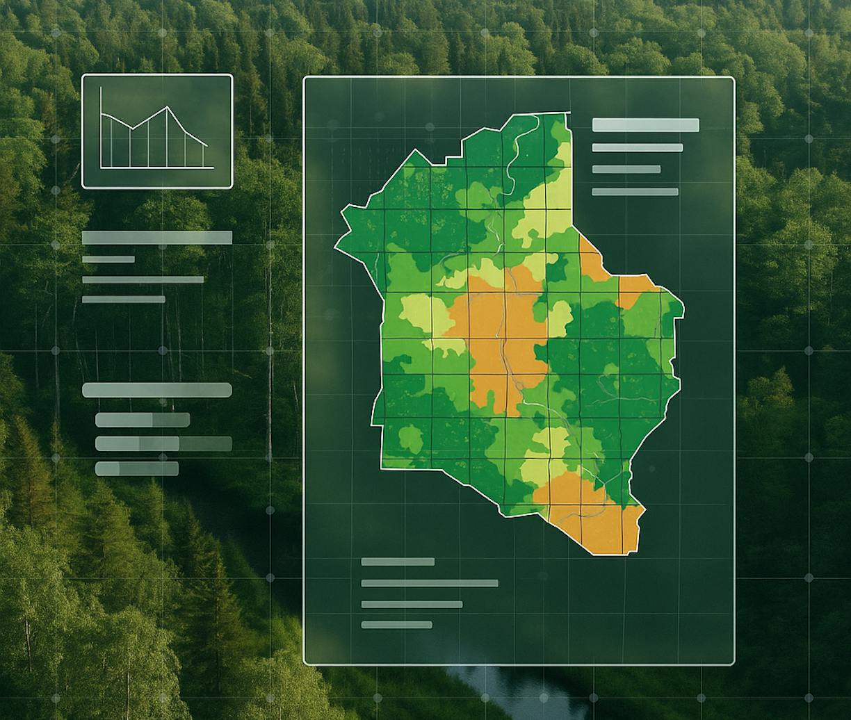
Carbon Stock Estimation
Biomass and above-ground carbon maps based on EO inputs and trained regression models, supporting carbon credit validation or impact assessments.
REDD+ MRV Workflows
Tailored workflows that integrate EO, national forest inventories, and reporting structures—aligned with IPCC, GHG, and UNFCCC standards.
API & Notebook-Based Delivery
Modular, reproducible analysis pipelines built for transparency and handover—delivered via APIs or interactive Jupyter Notebooks.
Sentinel-1 (SAR), Sentinel-2, Landsat, GEDI LiDAR, Hansen Global Forest Change, Global Biomass datasets, Google Earth Engine, Python, Scikit-learn, Dask, OpenMRV templates.