Environmental Monitoring
Data-driven tools for tracking ecosystem change, industrial impact, and environmental compliance. Monitor land, water, and biodiversity conditions using satellite imagery, AI, and integrated sensor data.
Environmental degradation is accelerating, but in many places, visibility is still limited, fragmented, or outdated. Whether it's tracking land use change, detecting pollution, or monitoring the impact of infrastructure projects, environmental agencies and ESG stakeholders need objective, scalable tools to act with confidence. At SPACE-SHIP, we work with clients to design EO- and AI-powered systems that deliver real-time environmental intelligence, combining satellite data, ground sensors, and analytics to support conservation, compliance, and sustainable planning. From change detection to biodiversity mapping, we help you see what’s changing, how fast, and why it matters.
$5B
8.4%
30%
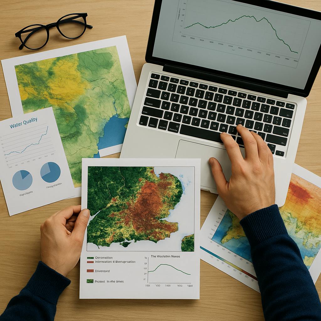
With over 15 years of combined experience in Earth Observation, environmental analytics, and AI, our team builds scalable, decision-ready tools for monitoring ecosystems, industrial footprints, and environmental compliance. We blend EO data, sensor feeds, and custom analytics to support agencies, ESG teams, and conservation groups. Whether mapping land degradation, integrating water quality sensors, or tracking biodiversity trends, we turn complex datasets into actionable insight—backed by domain expertise, technical depth, and a clear understanding of user needs.
We create tailored monitoring platforms that integrate remote sensing, temporal analysis, and AI models to support clients working in conservation, regulation, or environmental due diligence. Whether you're overseeing protected areas, enforcing mining regulations, or monitoring ecosystem health, we provide the tools to do it more efficiently and effectively.
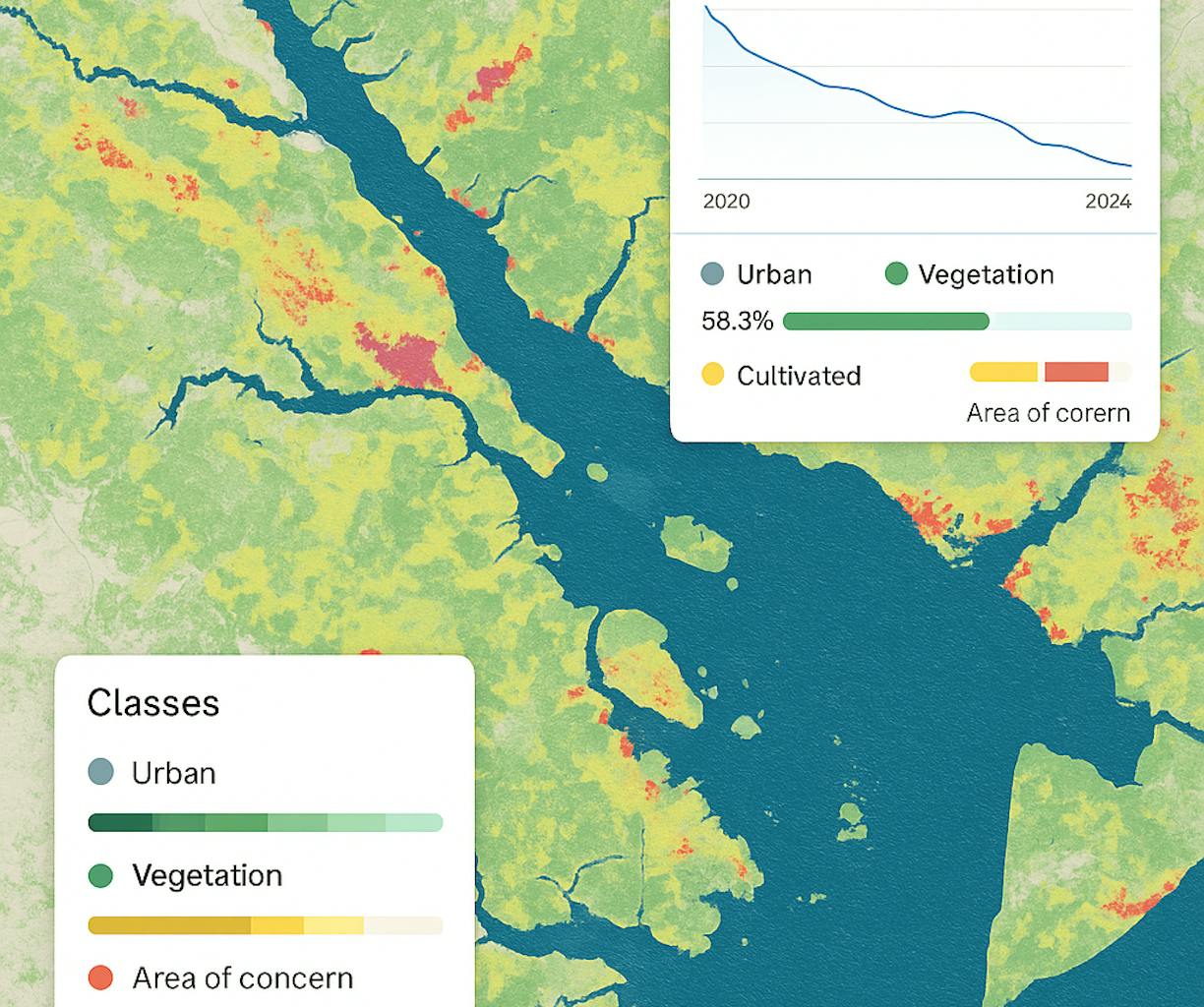
Land Degradation and Vegetation Change Mapping
EO-based monitoring of deforestation, erosion, and vegetation decline using time-series analysis and classification models.
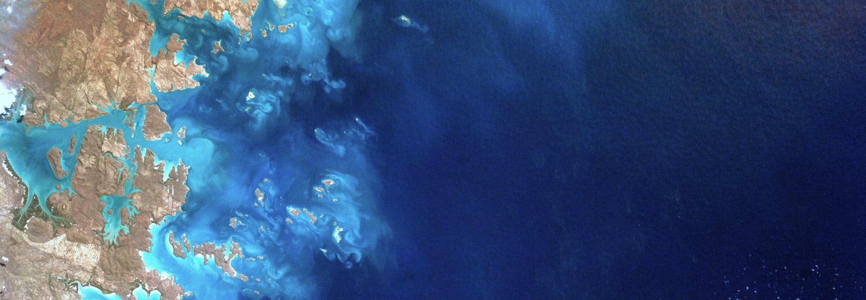
Surface Water Detection and Monitoring
Identification of new or shrinking water bodies, seasonal variability, and wetland changes, supporting hydrology, agriculture, and habitat protection.
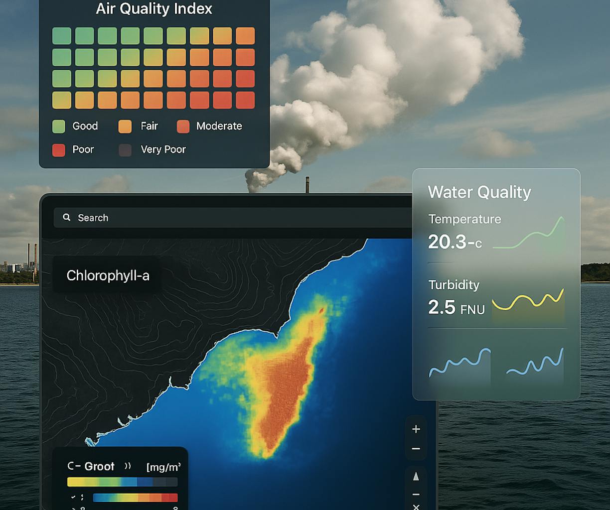
Air and Water Quality Assessment Integration
Fusion of EO-derived indicators (e.g. turbidity, chlorophyll, thermal anomalies) with in-situ or IoT sensor data for more accurate pollution tracking.
Temporal Change Analysis Dashboards
Interactive platforms showing year-over-year or seasonal shifts in land cover, water extent, and ecological stress—built for both technical users and decision-makers.
Sentinel-1/-2, MODIS, Landsat, CHIRPS, SMAP, Global Surface Water, Copernicus Atmosphere Monitoring Service (CAMS), in-situ sensor APIs, Python, Google Earth Engine, Dask, QGIS, PostgreSQL/PostGIS.