Climate Change Adaptation Planning
EO and AI-powered tools to support vulnerability mapping, risk prioritisation, and adaptive planning. Track long-term climate trends, map exposure zones, and identify where to act first.
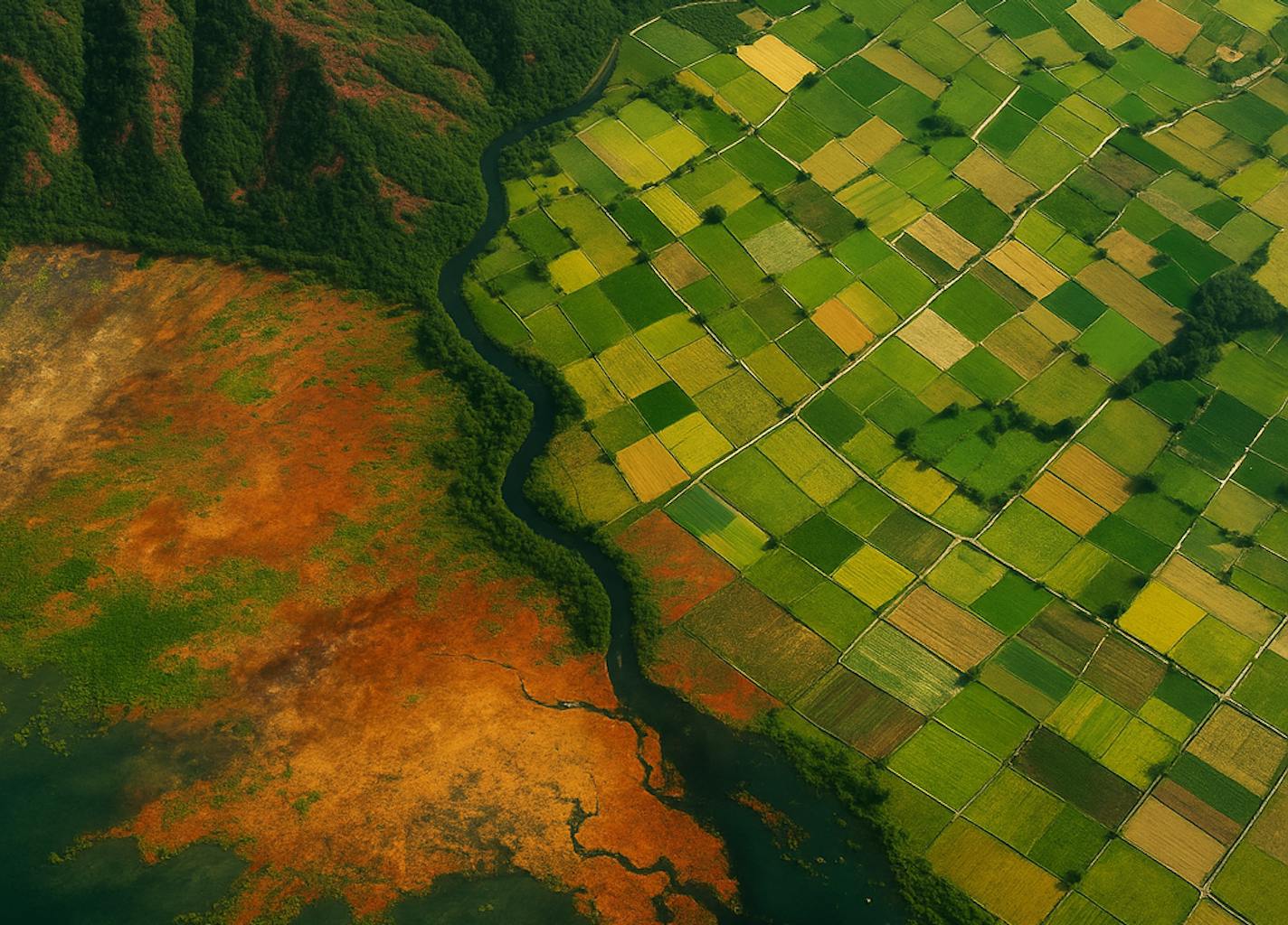
Adapting to climate change starts with knowing where and how it's hitting hardest. From rising temperatures and altered rainfall to vegetation stress and urban heat, decision-makers need spatial evidence to allocate resources, shape interventions, and inform future policy. We support decision makers, development agencies, and climate finance institutions with tailored Earth Observation and AI solutions that convert climate data into actionable insights. Our work helps align national adaptation efforts with global frameworks, including the UN SDGs and Paris Agreement goals, while leveraging key Essential Climate Variables (ECVs) to ensure scientific rigour.
$28.17B
10.5%
30%
With over a decade of experience at the intersection of Earth Observation, AI, and climate science, our team delivers tools that convert raw environmental signals into clear planning insights. We work across datasets like NDVI, ERA5, CCI Soil Moisture, and MODIS to monitor Essential Climate Variables (ECVs) and support long-term adaptation planning. From vulnerability modelling to SDG-aligned reporting dashboards, we help governments and climate finance partners design interventions that are spatially targeted, evidence-backed, and impact-driven.
We develop spatial analytics platforms and AI-powered pipelines that integrate EO datasets, ECV indicators, and local data to support climate adaptation strategies across national and subnational levels.
Climate Exposure Mapping
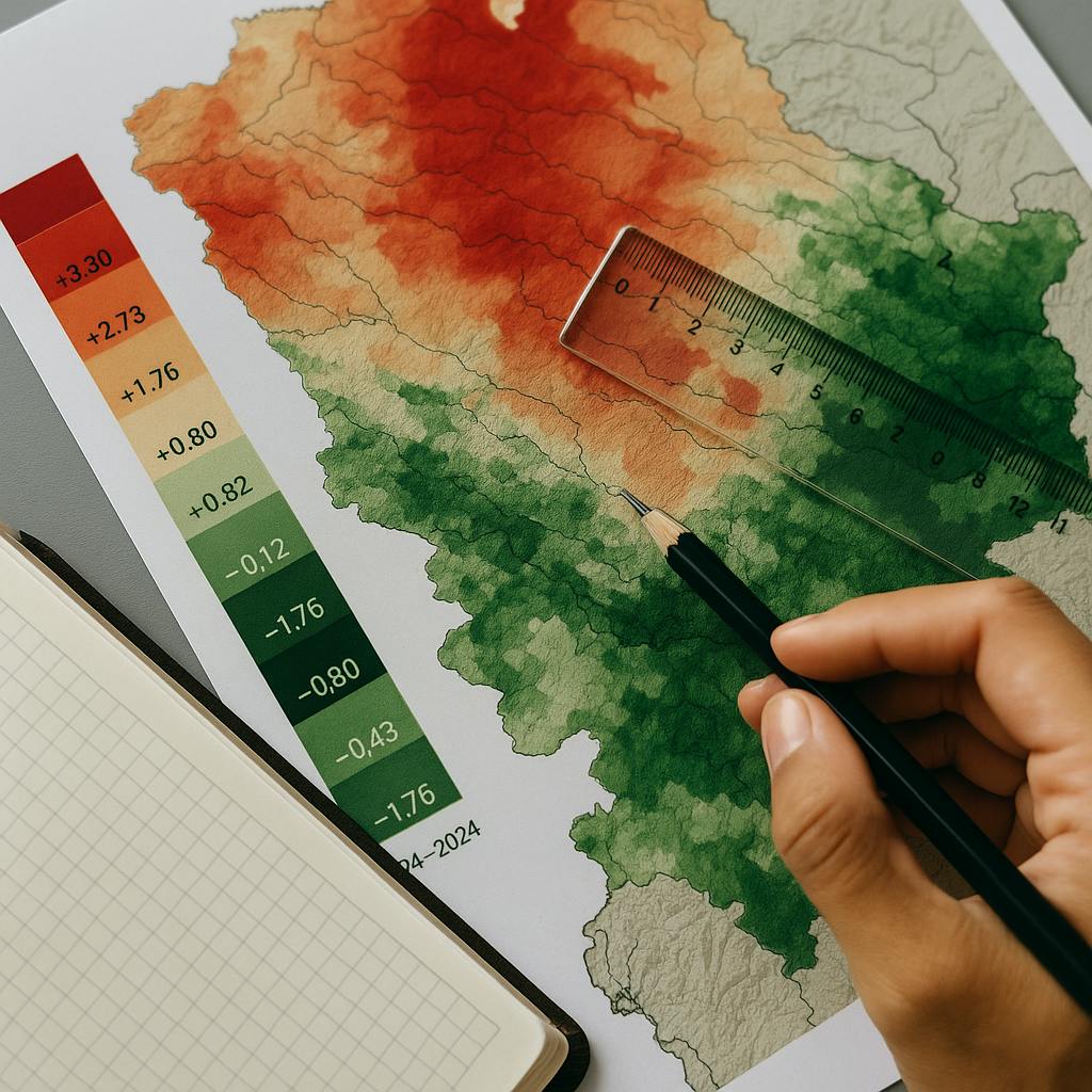
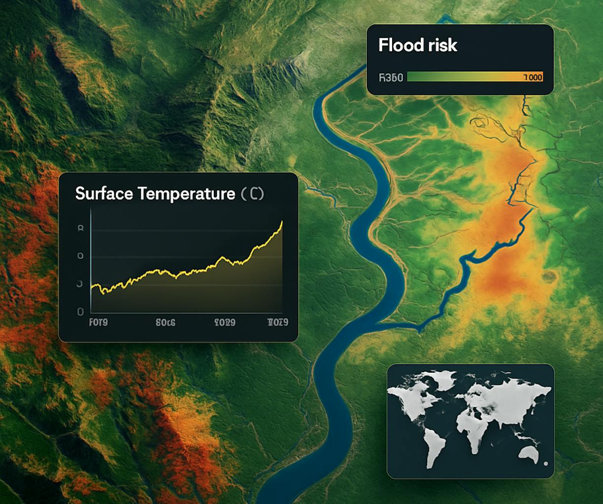
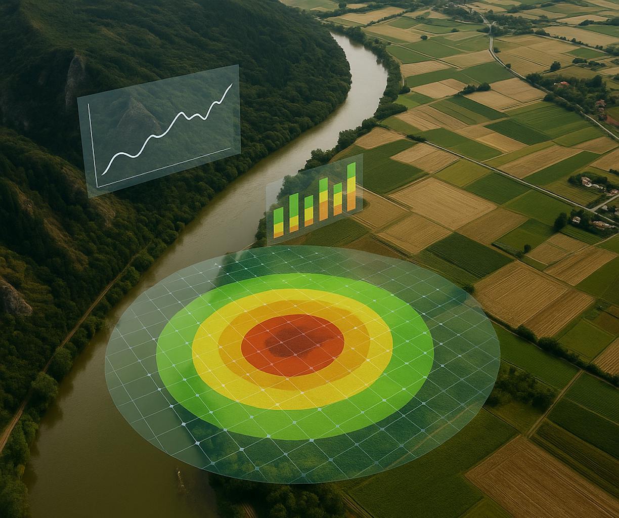
Map areas at high risk from heatwaves, droughts, floods, or ecosystem shifts using EO time series, climate reanalysis, and predictive models.
EO-Based Climate Trend Analysis
Track long-term changes in temperature, precipitation, vegetation, and hydrology using globally recognised ECVs, supporting SDG monitoring and adaptation finance proposals.
Vulnerability & Impact Modelling
Combine environmental exposure with demographic, economic, or infrastructure data to assess who and what is most at risk and where resilience investments are most needed.
Intervention Prioritisation Tools
Deliver geospatial tools and composite risk scores that help governments and donors identify priority zones for adaptation action, nature-based solutions, or climate-proof infrastructure.
Policy-Ready Dashboards & Reporting
Provide visualisation tools and indicators aligned with National Adaptation Plans (NAPs), UN SDGs, and UNFCCC frameworks, supporting transparent monitoring, evaluation, and funding justification.
Sentinel-2, MODIS, ERA5, CHIRPS, NDVI/NDWI, CCI Soil Moisture, IPCC AR6 indicators, Essential Climate Variables (ECVs), vulnerability indices, PostGIS, QGIS, Earth Engine, Python, Dask, cloud-based analytics.