Cartography & GIS
We craft maps that transform spatial data into actionable insight — blending topographic detail with thematic layers to support scientists, strategists, and decision-makers alike.
Maps are more than visuals—they're tools for understanding. Whether you're navigating shifting coastlines, tracking urban expansion, or monitoring biodiversity, a well-designed map helps reveal the story behind the data. At SPACE-SHIP, we bring clarity, context, and precision to every map we create. We specialise in high-quality cartographic products tailored to specific industries, end users, and communication goals. From technical web maps and land cover layers to story-driven visuals for reports and public dashboards, we turn complex spatial data into intuitive visual products—built for action and interpretation.
$21.6B
4.4%
20%
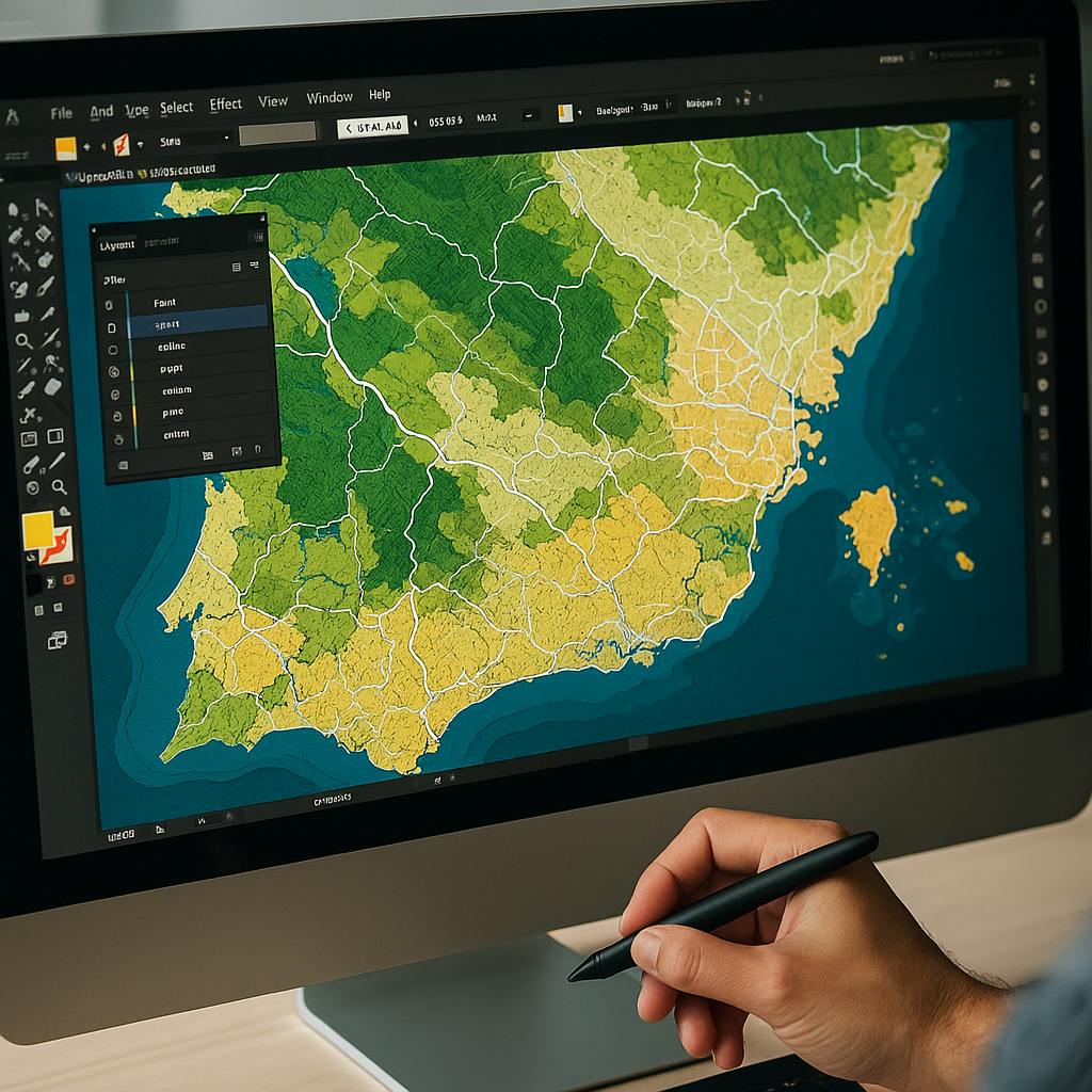
We specialise in producing high-quality cartographic products tailored to specific industries and audiences. From thematic maps and interactive web maps to scientific visualisations and policy-ready graphics, we work across GIS platforms and design environments to deliver exactly what’s needed. Our team blends geospatial expertise with design thinking to ensure every map is not only accurate, but also intuitive, purposeful, and easy to interpret—whether you're a domain expert or a decision-maker.
We combine EO data, GIS tools, and visual design systems to deliver map products that serve planning, science, tourism, and communication goals. Every map is built with a purpose—whether it’s for a national strategy or a hiking trailhead.
Thematic & Policy Maps
Static or interactive maps showing land use, infrastructure, climate risk, or demographic data, customised for reports, dashboards, or campaigns.
EO-Derived Layers & Tiles
Map tiles generated from Sentinel, Landsat, or other EO data, showing change over time, event impact, or environmental conditions.
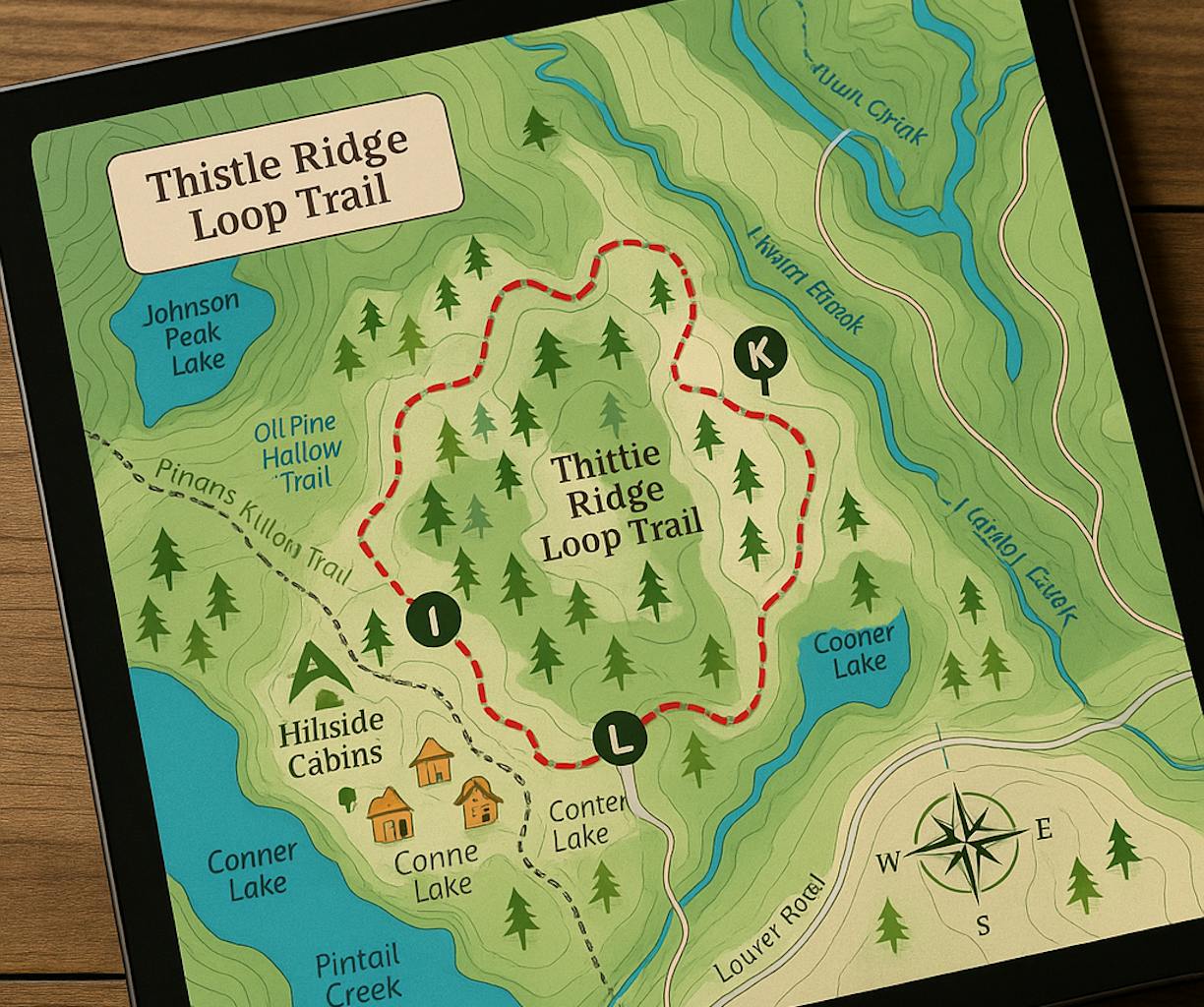
Leisure & Tourism Maps
Custom-designed hiking, biking, cultural heritage, or eco-tourism maps, available as print-ready graphics or web-friendly formats.
Scientific Visuals & Infographics
High-quality map graphics designed for inclusion in technical reports, publications, or stakeholder briefings.
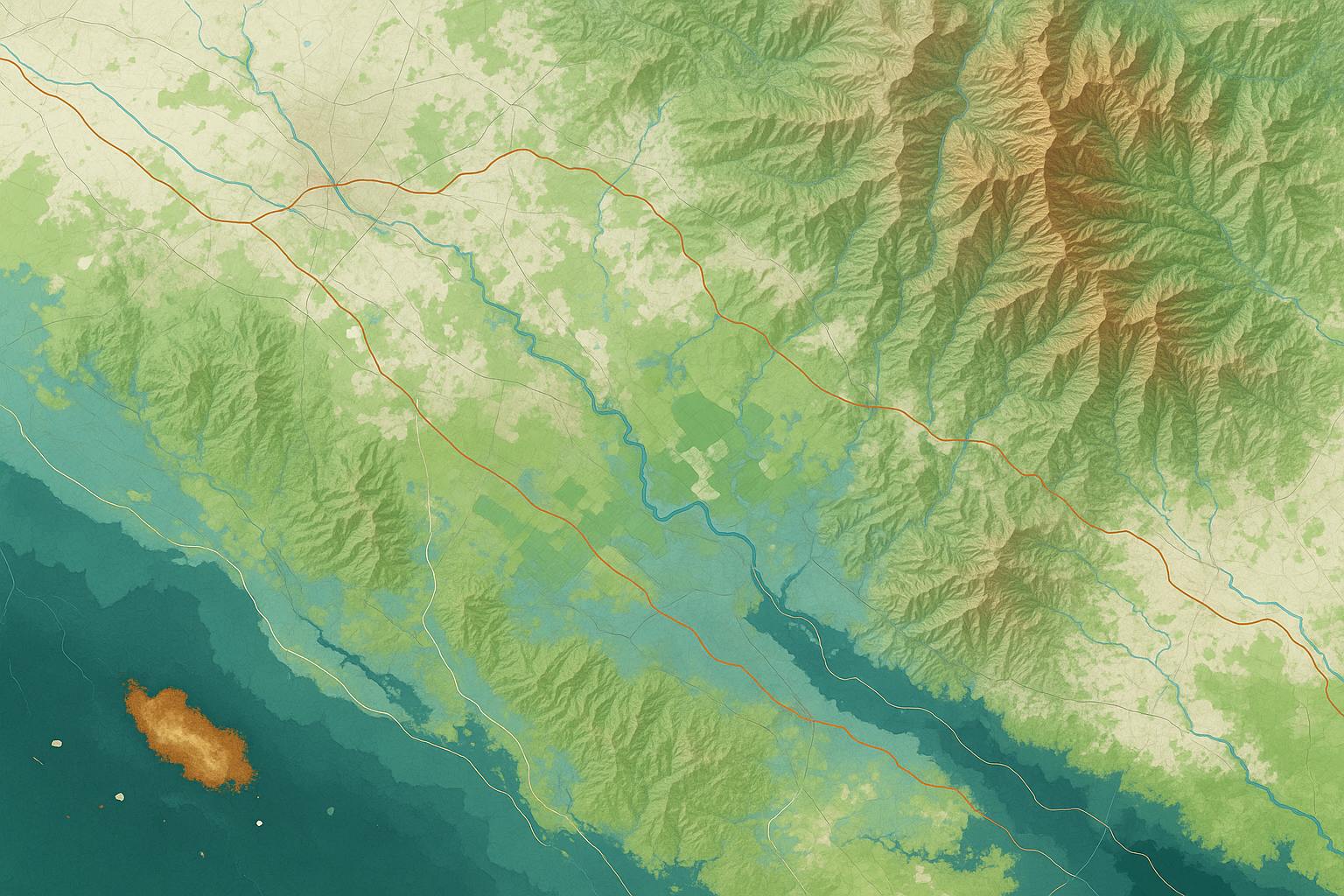
Topographic & Base Maps
Reference-quality basemaps for planning, navigation, or fieldwork, styled to match the context (e.g. conservation, infrastructure, tourism).
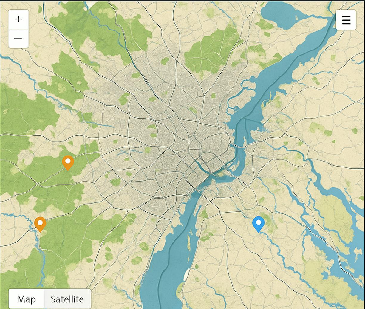
Interactive Web Maps
Lightweight, user-friendly maps for web applications, dashboards, or public engagement platforms.
QGIS, ArcGIS Pro, Leaflet, Mapbox, Sentinel Hub, Google Earth Engine, OpenStreetMap, Natural Earth, PostGIS, Python (styling/automation), Adobe Illustrator (MAPublisher), custom DEMs and EO-derived data.