Agriculture
Turning satellite data into field-level intelligence for better farming, food security, and policy decisions.
Reliable, timely, and field-specific data is the backbone of resilient agriculture. Whether you're a government agency, agribusiness, insurer, or NGO, having accurate visibility on crop conditions, seasonal trends, and environmental risks is no longer optional—it’s essential. We support clients across the agriculture ecosystem by designing tailored EO and AI-powered solutions that translate complex data into practical, high-impact tools. From crop monitoring to yield forecasting and early warning systems, our work enables decision-makers to act faster, plan more effectively and mitigate risk across the board.
$782.6B
8.12%
15%

Our team combines agronomic knowledge, geospatial analytics, and AI engineering to deliver tools that work on the ground. From vegetation index calibration to yield modelling and insurance trigger design, we combine domain insight with technical skill to solve complex agricultural challenges. Whether you're scaling national monitoring systems or supporting smallholder farmers, we build solutions that are accurate, adaptable, and built for impact.
We design and implement custom analytics systems that blend Earth Observation (EO), weather data, and artificial intelligence into operational tools. Our solutions are built around your needs—whether you're a government agency, insurer, agri-finance provider, or agtech company.
Crop Monitoring
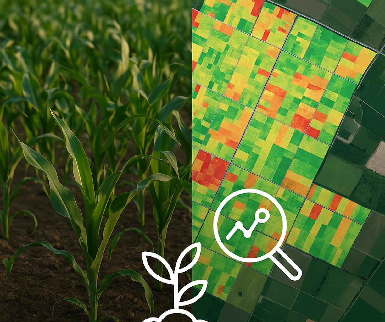
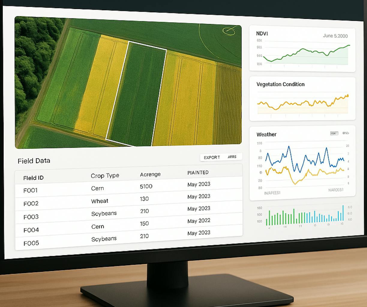
Real-time maps showing crop health, growth stage, and anomalies using vegetation indices (e.g. NDVI, NDWI), powered by AI-based trend detection and classification models.
Yield Forecasting
Region-specific yield predictions using EO time series, weather reanalysis, and machine learning algorithms trained on historical outcomes.
Early Warning Systems
Risk alerts for drought, pest pressure, or delayed planting, enabling proactive intervention and resource allocation.
Index-Based Insurance Support
Tools to define, validate, and automate insurance payout triggers using EO-derived indicators. We support insurers and reinsurers in building transparent, scalable models that can serve both smallholders and commercial clients.
Interactive Dashboards & APIs
User-friendly platforms and integration-ready endpoints that bring complex analysis into daily workflows, whether that’s for field teams, insurers, or policy units.
Sentinel-2, MODIS, Landsat, ERA5, CHIRPS, Client data, SoilGrids, Google Earth Engine, Dask, custom ML/AI pipelines (supervised classification, yield regression models, anomaly detection).