- Hogar /
- Sobre /
- Mercados/
- Soluciones digitales/
- Perspectivas /
- Carreras /
Urban Planning
We combine AI and Earth Observation to help planners visualise growth, manage land use, and shape more resilient urban environments.
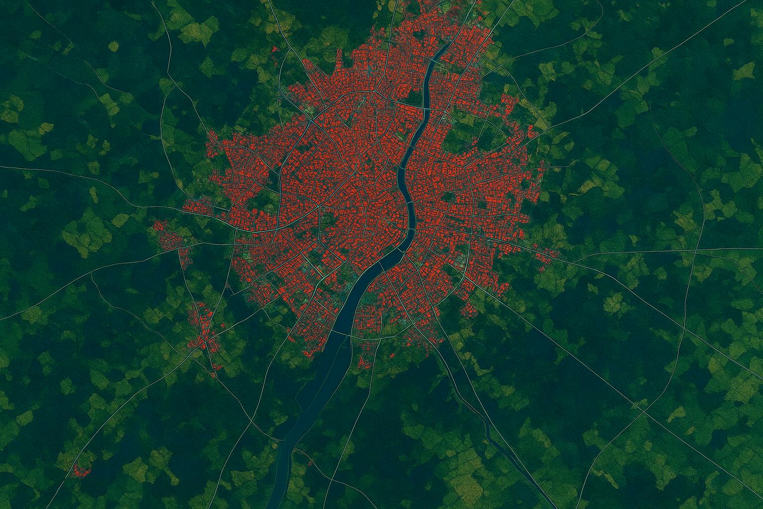
Urban areas are evolving fast. From housing expansion to green space preservation, planning decisions today shape how cities live tomorrow. With the rise of Earth Observation and AI, planners now have access to powerful tools that reveal patterns, risks, and opportunities like never before. At SPACE-SHIP, we help urban stakeholders make sense of spatial data — so growth can be smarter, fairer, and more sustainable.
$22.4B
9.8%
$1.2B

We work with local governments, urban planners, and infrastructure teams to turn satellite imagery, sensor data, and AI models into clear guidance for land use planning. Whether it's detecting informal settlements, monitoring land cover change, evaluating urban heat islands, or planning new mobility routes — we build tools that support real decisions on the ground. Our solutions combine EO data pipelines, machine learning models, and intuitive mapping interfaces to bring transparency and agility into every stage of the planning cycle.