- Hogar /
- Sobre /
- Mercados/
- Soluciones digitales/
- Perspectivas /
- Carreras /
Cartography
We craft maps that transform spatial data into actionable insight — blending topographic detail with thematic layers to support scientists, strategists, and decision-makers alike.
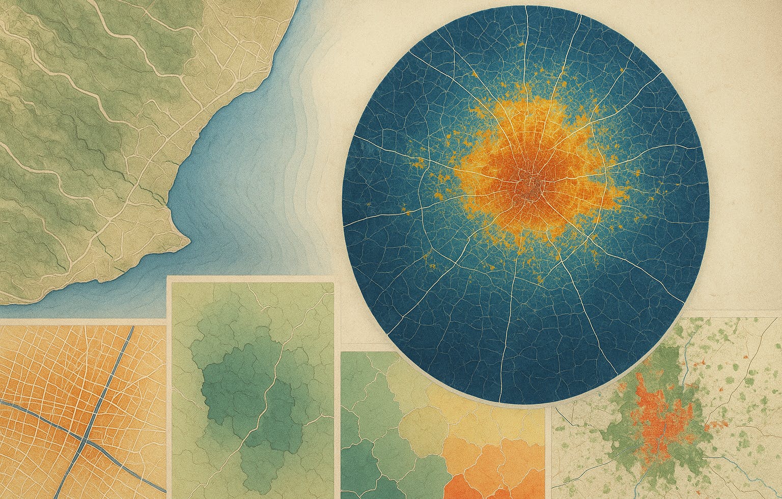
Maps are more than visuals—they're tools for understanding. Whether you're navigating shifting coastlines, tracking urban expansion, or monitoring biodiversity, a well-designed map helps you make sense of the story behind the data. At SPACE-SHIP, we bring precision, context, and clarity to every map we create.
$22.4B
9.8%
$1.2B
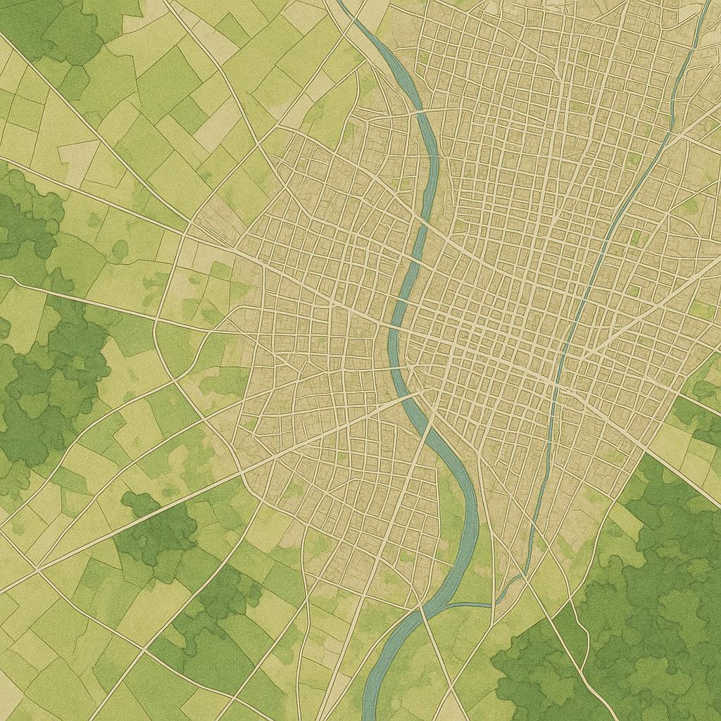
We specialise in producing high-quality cartographic products tailored to specific industries and audiences. From thematic maps and interactive web maps to scientific visualisations and policy-ready graphics, we work across GIS platforms and design environments to deliver exactly what’s needed. Our team blends geospatial expertise with design thinking to ensure every map is not only accurate, but also intuitive, purposeful, and easy to interpret—whether you're a domain expert or a decision-maker.