Reimagining Telecom Operations Through Earth Observation and AI
Telecom network operators are constantly under pressure to expand coverage to new areas, manage thousands of remote sites, and reduce energy costs; all while maintaining reliable networks and ensuring the service quality expected by their customers. Earth Observation data and AI offer a new way to fulfil this: not by replacing people or existing systems, but by empowering teams with sharper insights, smarter planning, and more resilient operations.
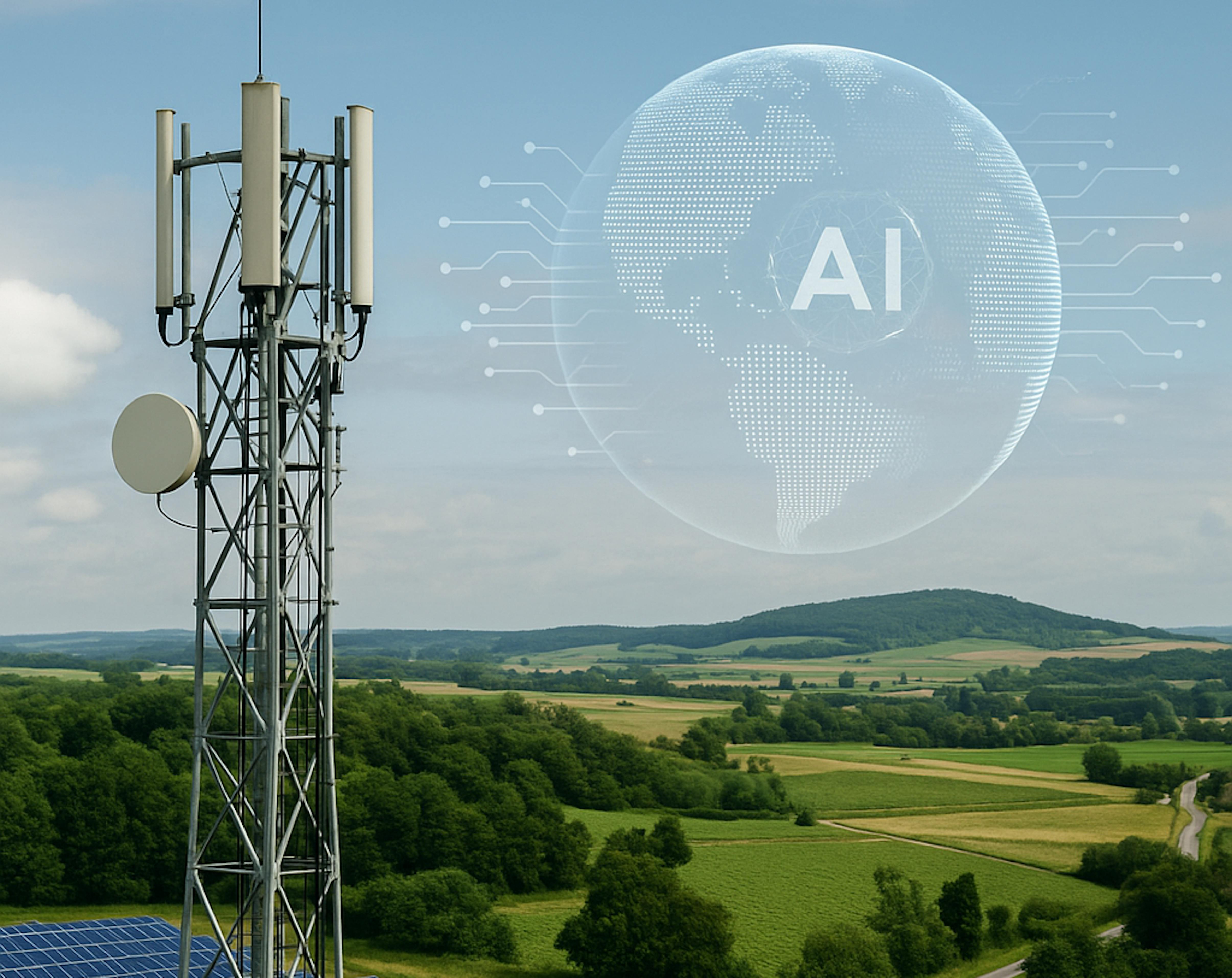
How Earth Observation and AI Can Power the Next Generation of Telecommunications
Telecommunications is the backbone of modern economies. The telecommunications infrastructure is at once a platform for digital business, an enabler of productivity and a catalyst for new industries. From mobile banking to e-learning to emergency response, reliable connectivity isn’t a luxury; it’s a necessity. Yet operators face mounting challenges: expanding networks into underserved areas, managing vast numbers of remote sites, and optimising operations in regions where logistics, energy, and climate factors are anything but predictable.
This is where Earth Observation (EO) data and Artificial Intelligence (AI) step in. By combining satellite imagery, climate models, IoT and geospatial analytics with AI-driven insights, telecom operators can move from reactive fixes to proactive, data-driven decision-making. Importantly, these tools don’t replace people; they enhance the expertise of engineers, planners, and field teams, giving them sharper insights and more efficient workflows.
Smarter site planning, better coverage
One of the toughest tasks in telecom is deciding where to place new tower sites and how to expand networks cost-effectively. Traditional approaches rely heavily on physical surveys, which can be expensive, slow, and many times incomplete in regions with limited accessibility.
EO data helps fill these gaps. High-resolution satellite imagery, combined with AI, can:
- Map population density and urban growth to identify underserved areas.
- Analyse terrain, historical ground movements, vegetation, and flood risk to select safe and resilient tower sites.
- Line of sight analysis and predicting future areas with increasing population or human settlements.
Here, AI doesn’t decide for planners; it gives them a richer context so they can make better, faster calls. The result: rollout strategies that reduce CAPEX and improve ROI without replacing the judgment of experienced teams.
Remote monitoring of infrastructure
Once towers are deployed, keeping them operational is a different challenge. Remote sites are often exposed to theft, vandalism, weather damage, and inconsistent power supply. Sending crews for routine inspections is costly and logistically complex.
EO offers a powerful complement. Satellite data, refreshed frequently, can be used to:
- Detect land use changes around tower sites (e.g., encroachment, construction, or deforestation that affects access and stability).
- Monitor environmental stressors like flooding, landslides, or wildfire risk.
- Track vegetation growth that might interfere with transmission.
- Ability to go back in time and analyse long-term historical time series.
A combination of AI and EO helps staff prioritise interventions instead of spreading resources thin. Field engineers will still handle the fixes, but now with foresight, not ad hoc monitoring, and they know which sites to prioritise.
Energy efficiency and sustainability
Powering sites is a major challenge. Diesel generators are costly and polluting, while renewables such as solar require smart integration and regular monitoring.
EO and AI help by:
- Mapping solar irradiance and shading risks to identify the best locations for solar deployment.
- Monitoring solar panel performance through satellite imagery and AI-driven anomaly detection, flagging issues like dust accumulation, shading from new vegetation, or storm-related damage.
- Assessing long-term viability by tracking seasonal and climate trends that impact energy yield.
- Highlighting sites suited for renewable integration with minimal risk, reducing dependence on diesel.
These tools provide decision support, ensuring that field teams know where to act and when. Engineers and technicians remain central; they still design, operate, and maintain the systems, while EO and AI give them clearer visibility to keep renewable power sources reliable.
Building resilience in uncertain environments
Telecom networks are vulnerable to climate variability and rapid urban change. EO and AI allow operators to anticipate these risks, whether it’s flood-prone zones, extreme heat stressing equipment or urban encroachment near tower sites. By turning environmental uncertainty into foresight, operators can plan maintenance, allocate resources, and safeguard uptime.
Why this matters now
Telecom demand is surging, but so are operational pressures. The companies that thrive will be those that scale intelligently: reaching new customers while keeping costs predictable and infrastructure resilient. EO and AI act as an add-on toolkit that makes skilled employees even more effective.
At SPACE-SHIP, we specialise in translating complex Earth Observation data into actionable insights for industries that need them most. For telecom operators, that means practical tools for smarter site planning, efficient monitoring and sustainable operations.

Conclusion
The future of connectivity will not only be faster, it will be smarter, more resilient, and better aligned with the environments in which networks operate. EO and AI are not here to take over the work of people. They are here to make people’s expertise go further.